Les Muntanyes del Baix
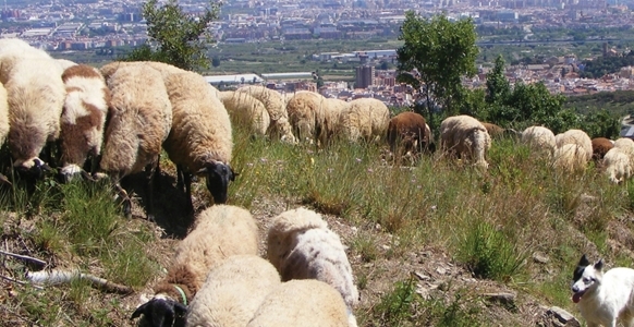
The Muntanyes del Baix is a project in which 16 municipalities of Baix Llobregat and Consell Comarcal coordinate and share its strategy and actions for the management of the agroforestry of this territory. The Muntanyes del Baix project must contribute to demoralising forest, agricultural and livestock management, so that lumberspace can become less vulnerable to risks such as forest fires, which in fact constitute the largest threat to the Muntanyes del Baix, and which can be aggravated by climate change.
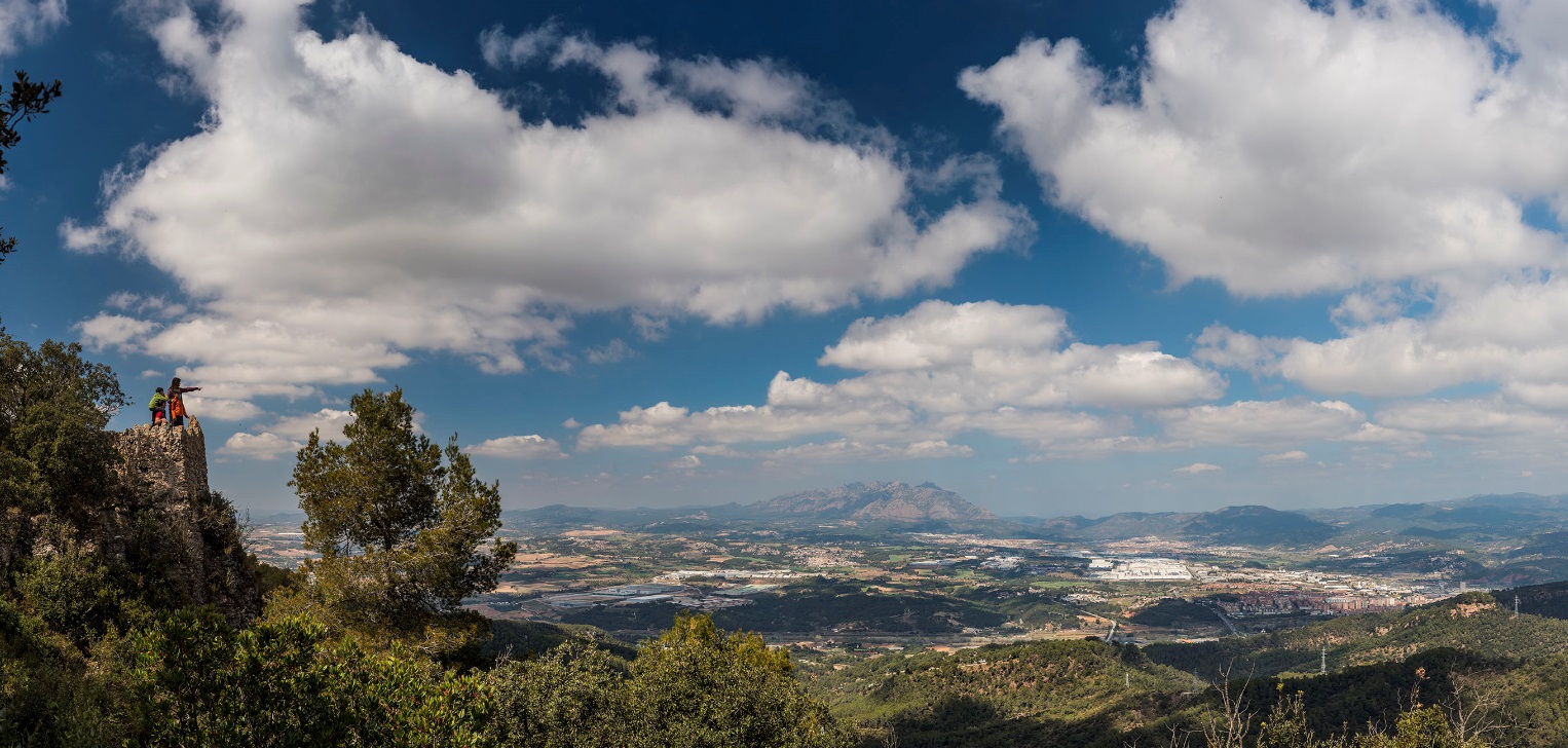
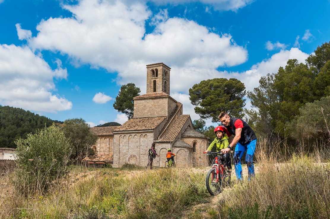
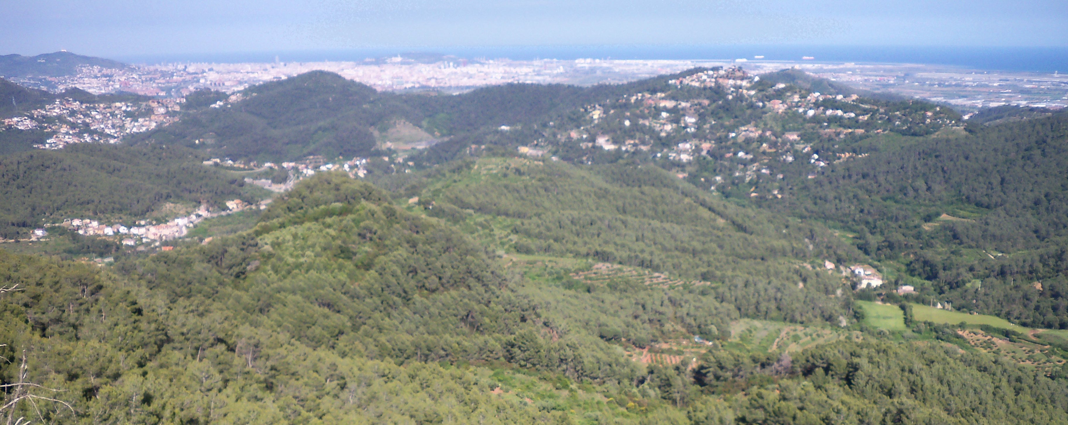
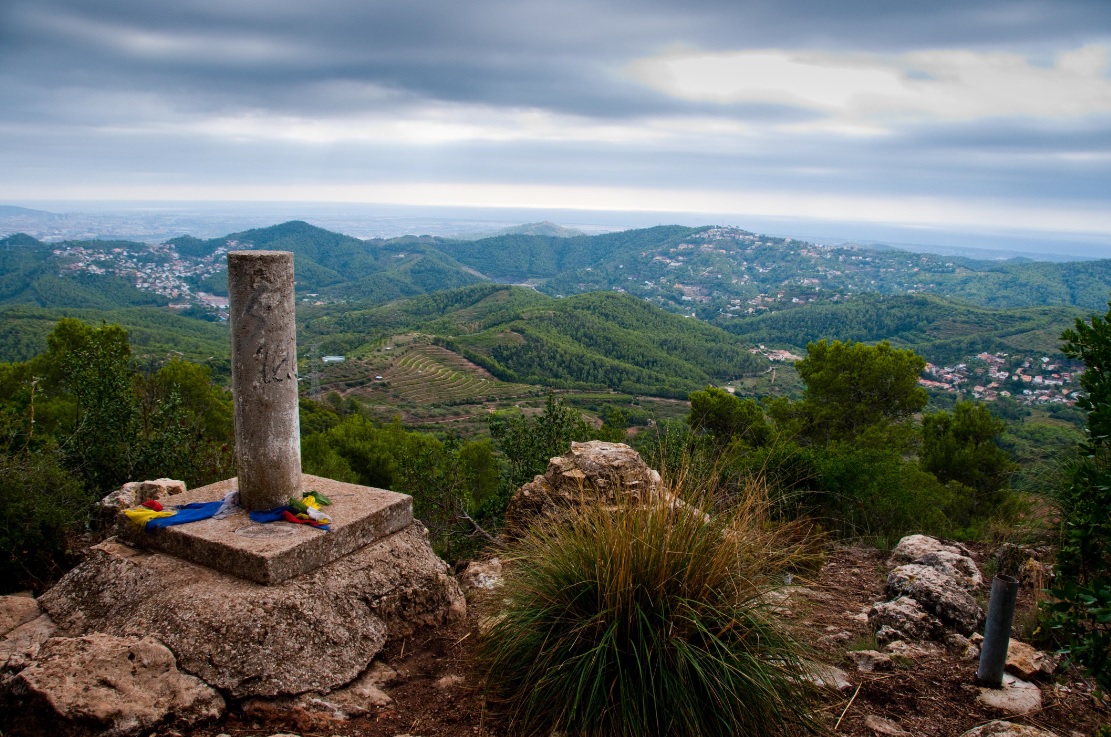
Territorially, the Muntanyes del Baix are a privileged space on the right bank of the Llobregat's river, which runs from the urban cores of the Delta's river, the Garraf mountains – Ordal and to the ridges that decouple the Anoia and Llobregat basins. Overall, it is over 120 km2, with over 12,000 hectares, of which over 10,000 is forest area. The Muntanyes del Baix include their values linked to agricultural, livestock and forest exploitation that have shaped the landscape, natural and landscape values (the key element in the "Green Ring" infrastructure where there are more than 5,000 hectares of land that are Natura 2000 Networks), as well as extensive heritage, as much material as and earthly, at the natural, cultural, architectural and festive levels. And all of this, coexisting with a population of over 300 000, and so we must add to this important social value.
The municipalities that make up the Muntanyes del Baix are: Begues, Castellví de Rosanes, Cervelló, Corbera de Llobregat, Gavà, La Palma de Cervelló, Martorell, Pallejà, Sant Andreu de la Barca, Sant Boi de Llobregat, Sant Climent de Llobregat, Sant Vicenç dels Horts, Santa Coloma de Cervelló, Torrelles de Llobregat, Vallirana and Viladecans.
Muntanyes del Baix
08980 Baix Llobregat Barcelona
Spain